COGStream: Efficient Streaming of INSAT Satellite Data

📑 5 slides 👁 46 views 📅 3/9/2026
0.0 (0 ratings)

The Hidden Bottleneck in Satellite Weather Intelligence

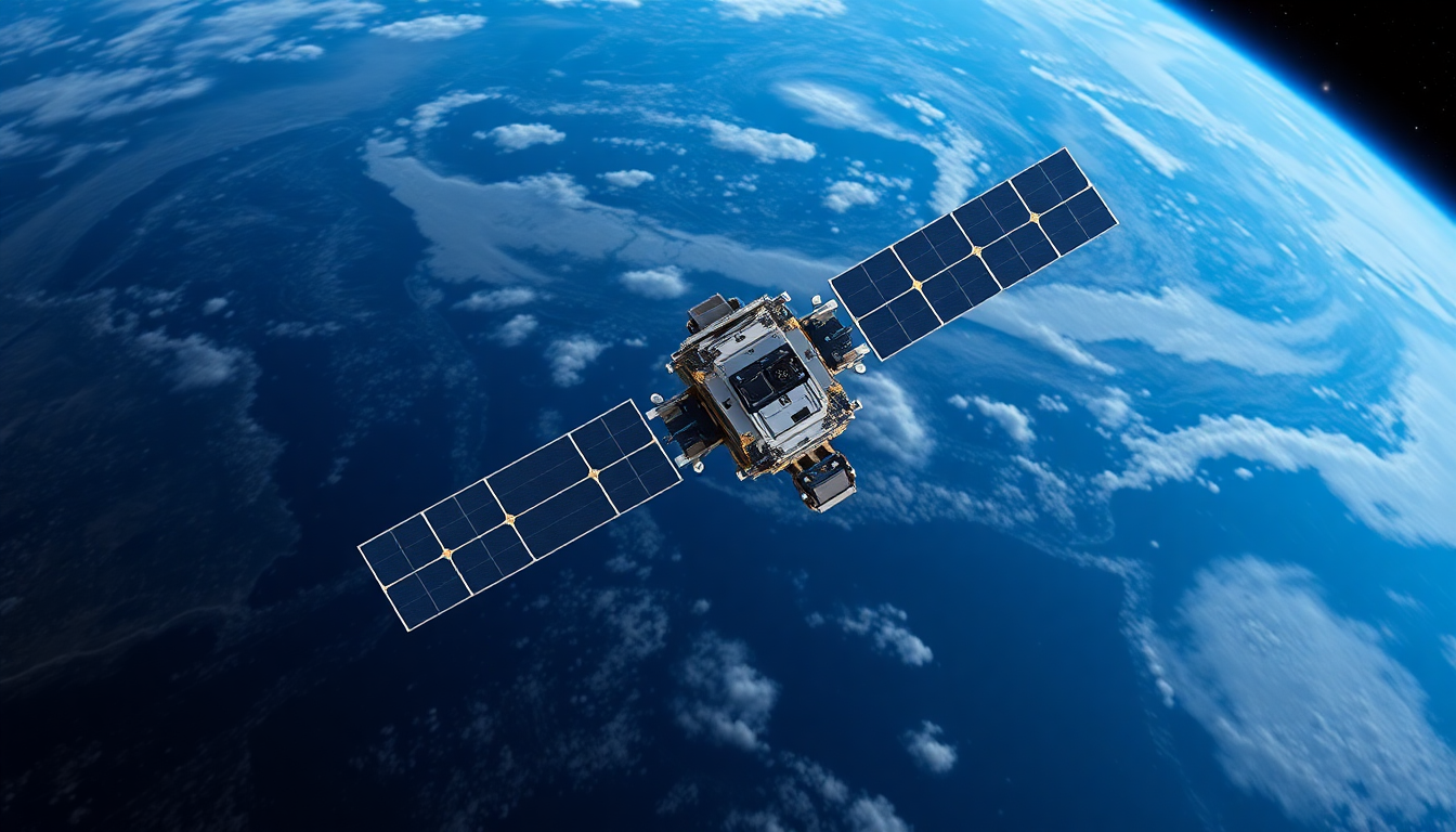
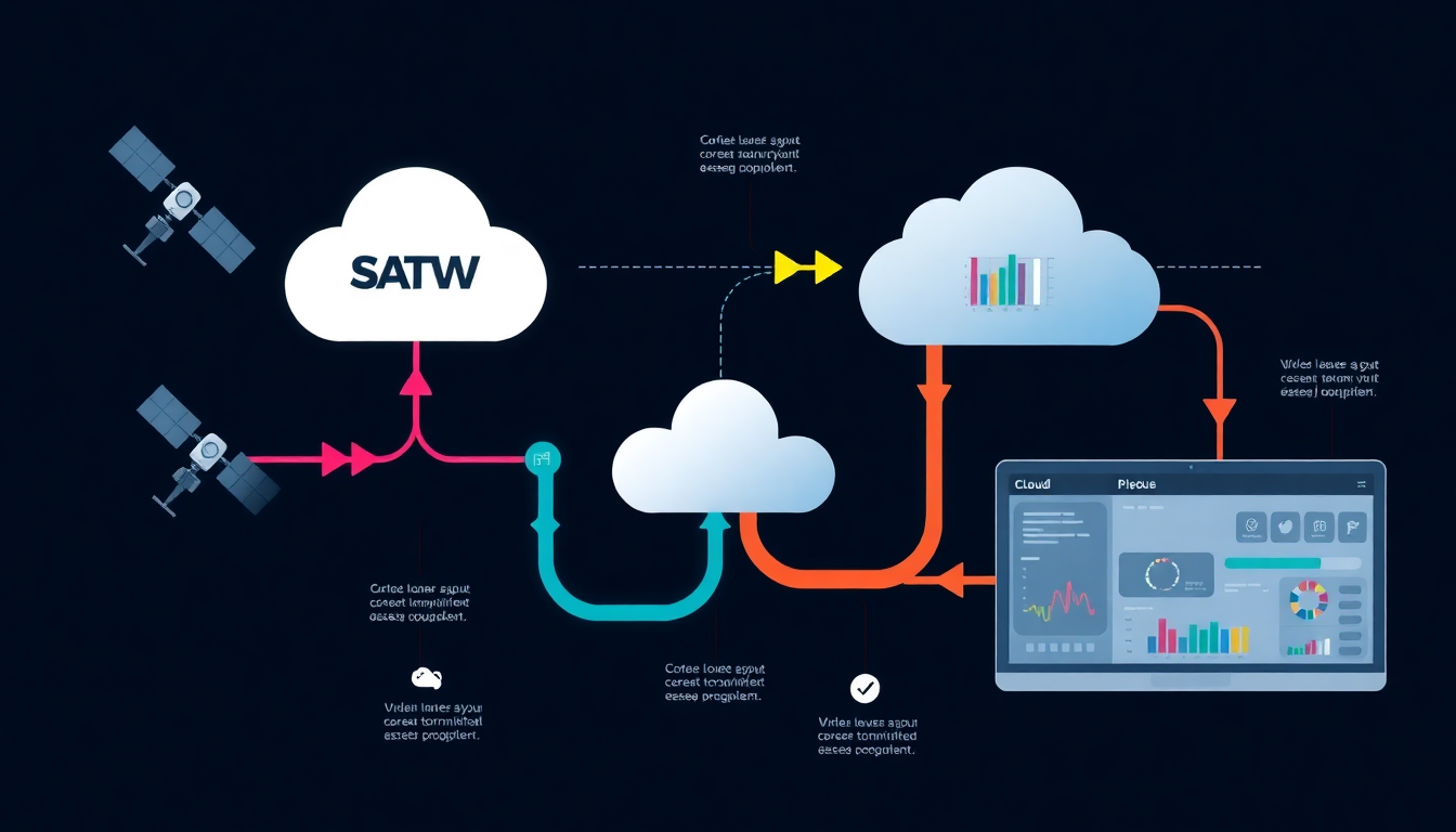
Single satellite datasets can exceed 2GB in size, delaying critical weather insights.

The Hidden Bottleneck in Satellite Weather Intelligence
2

INSAT Satellites: Continuous Earth Observation at Scale

  • INSAT satellites capture atmospheric data across India and surrounding regions.
  • These datasets support forecasting, climate monitoring, and disaster management.
  • The challenge lies in efficient data accessibility, not data availability.
INSAT Satellites: Continuous Earth Observation at Scale
3

Cloud-Native Satellite Data Pipeline Architecture

  • Three-layer system: Data Ingestion, Processing, and Visualization.
  • Converts INSAT datasets into Cloud Optimized GeoTIFFs for efficient access.
  • Technology stack includes Python, GDAL, FastAPI, and React for scalability.
Cloud-Native Satellite Data Pipeline Architecture
4

From Multi-Gigabyte Downloads to Instant Streaming

  • Traditional method requires full 2GB+ dataset downloads.
  • Our system enables selective region streaming (~10MB transfers).
  • Achieves 90-95% reduction in data transfer volume.
From Multi-Gigabyte Downloads to Instant Streaming
5

Enabling Next-Generation Earth Intelligence

  • Enables real-time storm tracking and disaster prediction.
  • Transforms raw Earth observation into actionable intelligence.
  • Designed for meteorologists, researchers, and disaster response agencies.
Enabling Next-Generation Earth Intelligence
1 / 5